Globalisierung und Anthropozän in neuen Kartenwelten
Abstract
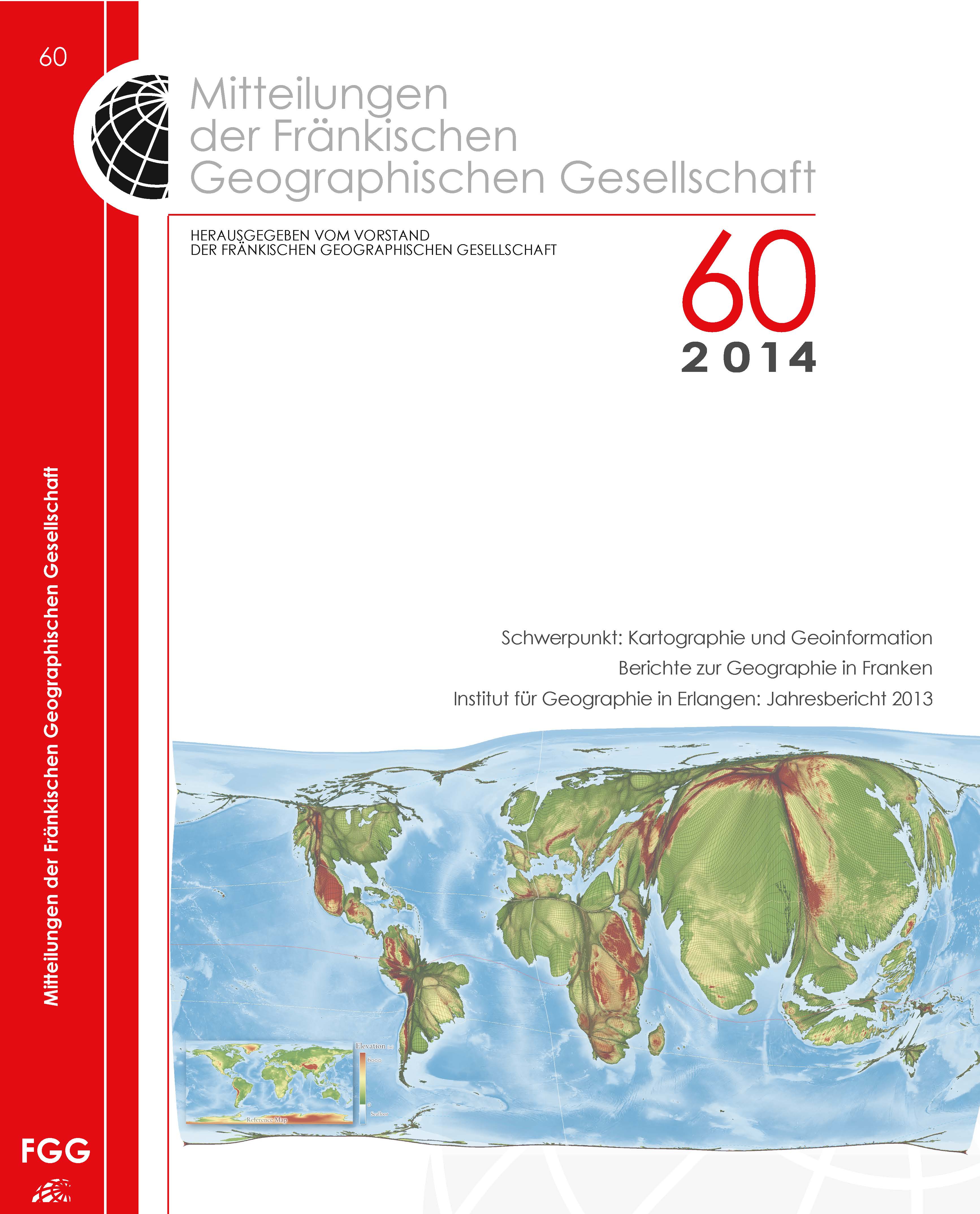
In a world increasingly influenced by human action and interaction, we still heavily rely on mapping techniquesthat were invented to discover unknown places and explore our physical environment. Althoughthe traditional concept of a map is currently being revived in digital environments, the underlying mappingapproaches are not always capable of making the complexity of human-environment relationshipsfully comprehensible. Starting from how people can be put on the map in new ways, this contributionoutlines the development of a novel technique that reprojects a map according to quantitative data, suchas population. The new maps are called gridded cartograms as the method is based on a grid onto whicha density-equalising cartogram technique is applied. The underlying grid ensures the preservation of anaccurate geographic reference to the real world. It allows the gridded cartograms to be used as basemapsonto which other information can be mapped. This applies to any geographic information from the humanand physical environment. These new maps are not limited to providing new insights from the perspectiveof people (such as better insights into electoral outcomes), but can show any quantitative geospatial data,such as rainfall. As demonstrated in this paper, the gridded cartogram technique is a viable and versatilealternative to other conventional map projections.Downloads
Veröffentlicht
06.07.2015
Zitationsvorschlag
Hennig, B. (2015). Globalisierung und Anthropozän in neuen Kartenwelten. Mitteilungen Der Fränkischen Geographischen Gesellschaft, 60(1), 7–16. Abgerufen von https://fgg-erlangen.de/fgg/ojs/index.php/mfgg/article/view/336
Ausgabe
Rubrik
Artikel


